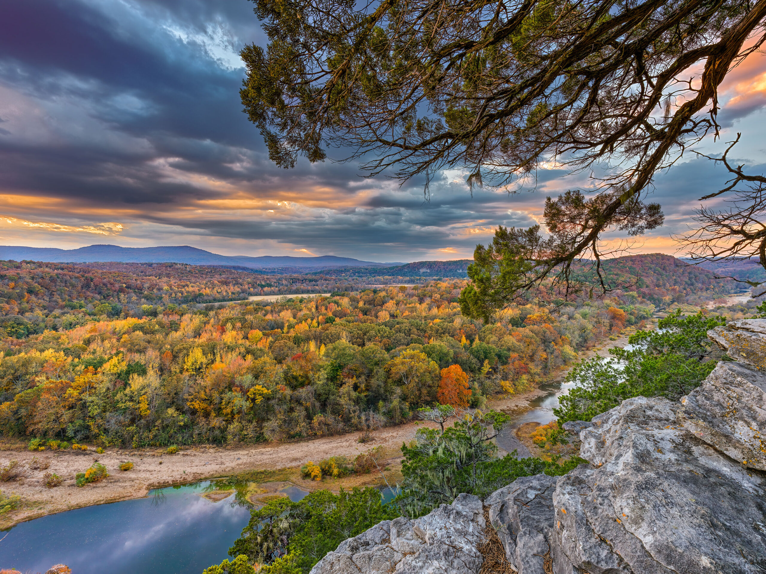
09/07/12 Featured Arkansas Photography–Twin Falls of Big and Long Devils Forks in the Richland Wilderness
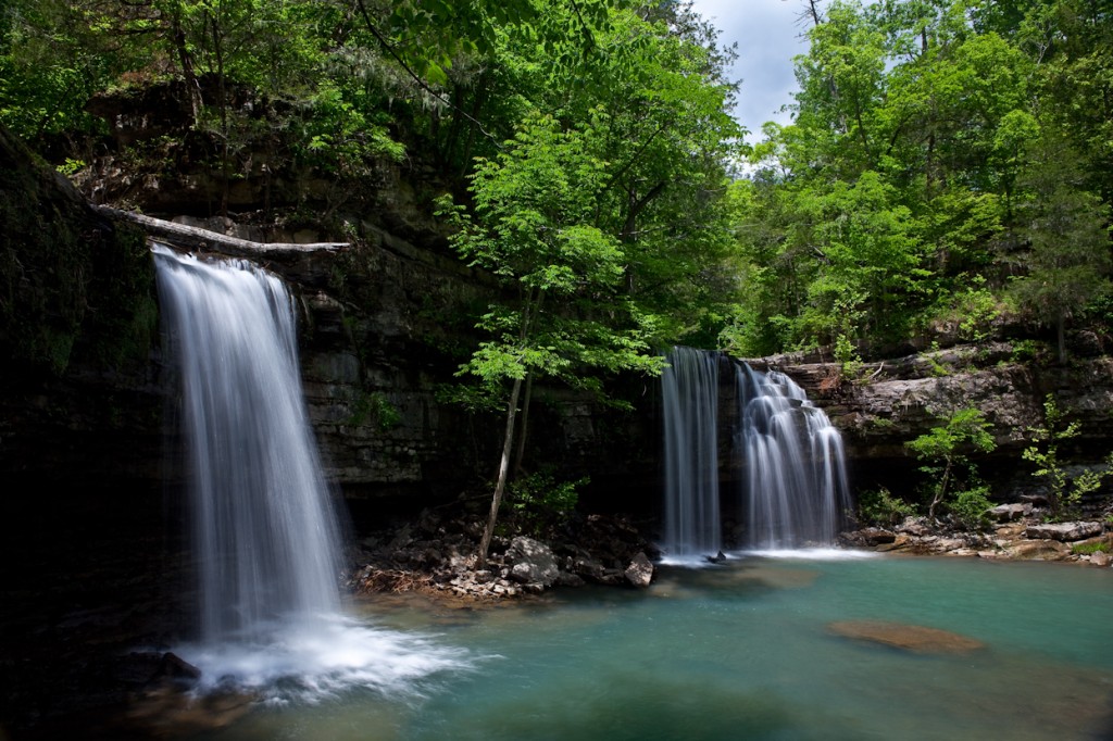
Taken with a Canon 5D MKII, Canon 16-35mm Lens at 16mm, F14, approx 1 sec exposure, iso 100. One of the best spots in Arkansas to photograph waterfalls is the Richland Creek Wilderness Area. You have unlimited waterfalls to look for in a hike up Richland Creek on a good water day. You will need at least 100 cfs (cubic feet per second) of flow in Richland to get a good shot of the Twin Falls. You can best reach Twin Falls by hiking up Richland Creek from the campground on Forest Road 1205. It is about 1 mile but it’s a long mile with lots of up and arounds as there are many dead trees in the way. If you start the hike from Richland Campground, make sure you stay on the left side of Richland all the way to the big bend where Devils Creek enters into Richland. There is a pretty easy trail to follow for most of the way and now that the campground is open again, more people will be hiking up to the falls. If you are a photographer, I would recommend hiking to the falls during the week as there tends to be many more folks up there on the weekends and it’s not an area that can easily accommodate many people. WATCH OUT FOR HORSEMEN AND WOMEN as they now are coming down to Richland falls and coming over to Twin falls. It’s not an easy spot to negotiate with a horse so be careful. On a good water day say over 400 cfs you might be able to catch kayakers coming down upper Richland.
The best water conditions for hiking and photographing Richland are between 50 and 400 cfs. Anything lower and most of the creek’s features will not be formed well and if it’s higher than 400, then you have some tough crossings to make. Richland is no slouch and it’s not very forgiving to fools. Be aware that the bottom is slick and the current is strong. If you start to cross and don’t have a good grip on the bottom, then more than likely you will be swimming. I also recommend that you use a pack that is totally waterproof like the ones from Lowe Pro. The ones that have a waterproof inner back that closes with a heavy duty waterproof zipper. When I hike Richland low, I will most often use a pair of wading boots that have felt soles as these give you much better traction. The other thing to consider is when the water is high and moving, more than likely you will not be able to view the bottom so it’s best to place your feet one at a time as it’s easy to get tripped up on a rock or two.
Richland is a fascinating watershed. It’s seems to come up faster than the nearby Buffalo River and also often hold more water longer. The Buffalo has a much large watershed but still Richland more times than not will be higher after a good rain. You can easily gauge Richland and most of the large creeks in Arkansas by going to the main USGS water website and then select Arkansas and then drill down to Richland. The actual gauge on Richland is at the campground bridge. Richland is pool drop which means that is does not have a continuous flow unless it’s over around 4500 cfs (that’s a lot of water). The area around Richland is a great hike in the spring, winter and fall. Most times in the summer (like this one in 2012) Richland will dry up or be running with less that 10 cfs. In the fall if there is good water over 30 cfs, make a trip up to Richland as it has one of the best fall color displays in Arkansas.
08/09/12 Featured Arkansas Photography–Richland Creek Reflections
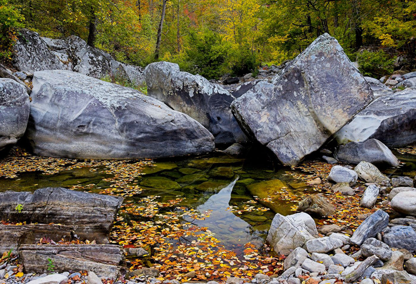
Taken with a Canon 1ds MKII, Single Exposure with a Canon 24-70 Lens @ 35mm, F11, iso 200. This is better than Richland Creek will look in the the for 2012 unless Arkansas starts to get a lot more rain. Currently the creek is dry for almost it’s entire length. There might still be a bit of water in the deeper pools along the lower creek below the campground bridge. However I doubt that most of the pools above the bridge have any water left in them. The USGS guage has not reported any level for Richland for about a month now, so I feel that the large pool at the campground bridge is dry also.
On a cloudy day you have a much harder situation to work with since your sky will attempt to go white or light gray. Personally for my work I don’t prefer to see the white sky effect and since I don’t tend to combine images, i.e. take the sky from one and the scene from another, when shooting a scene like this most times I will move in closer and take the sky out of the frame. On this day the light was very neutral, no visible highlights and the shadows were all pretty even. I still liked the visible color on the creek so I walked up looking for a scene that might work. This group of rocks is called Cindy’s Hole Rapid and is quite a fun drop when there is a bit more water in the creek. I like the way the rocks work all the way across the creek and have such distinctive shapes. Richland creek is a great day hike for any photographer looking for the beauty of Arkansas’s outdoors.
07/05/12 Featured Arkansas Photography–Night skies over the Narrows on the Buffalo River
- At July 05, 2012
- By paul
- In Featured Arkansas Photography
 0
0
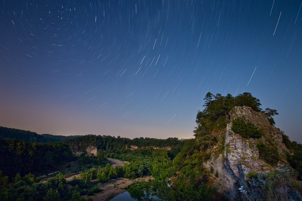
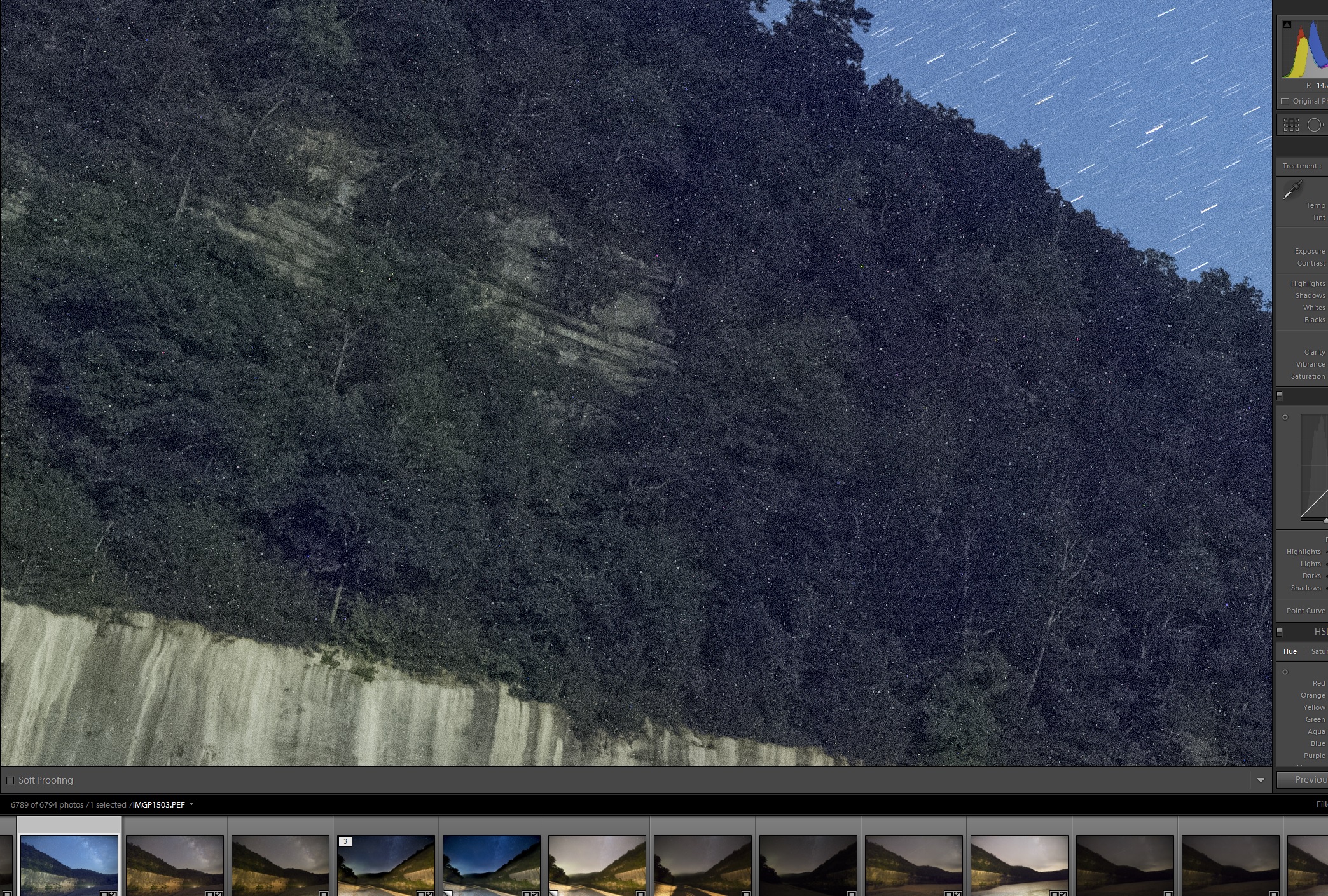
Taken with a Canon 5D MKII, Canon 14mm lens, iso 250, F 5.3, for 35 minutes. Not the easiest place to get to now, due to the flooding that occurred in 2010. The Narrows is a unique part of geography in Arkansas. On one side you have the Buffalo River and off in the distance, Richland Creek. Richland runs into the Buffalo not far from here, but way back hundreds or thousands of years ago, Richland ran right up along the other side of the Narrows and the two streams almost met!. The ledge is only about 2 feet wide in places and it’s quite place to walk. The view downstream featured Skull bluff and then around the bend is Woolum Ford. Be careful if you try to get to the narrows or “nars” as the locals call it by crossing the Buffalo at Woolum ford. The actual ford has changed quite a bit over the past few years and is deeper and a bit tricky at most water levels. Due to the excessive drought Arkansas has going right now, it may dry. Once you cross the ford be VERY CAREFUL IN THE SAND. This is great place to get stuck!. The best way is to use 4 wheel drive and go straight up the hillside and cut across the field, don’t try to stay in the ruts as they are now full of sand and very tricky. Even with four wheel drive.
Read More»

