09/18/13 Featured Arkansas Photography–The Natural Bridge in Lost Valley near Ponca Arkansas
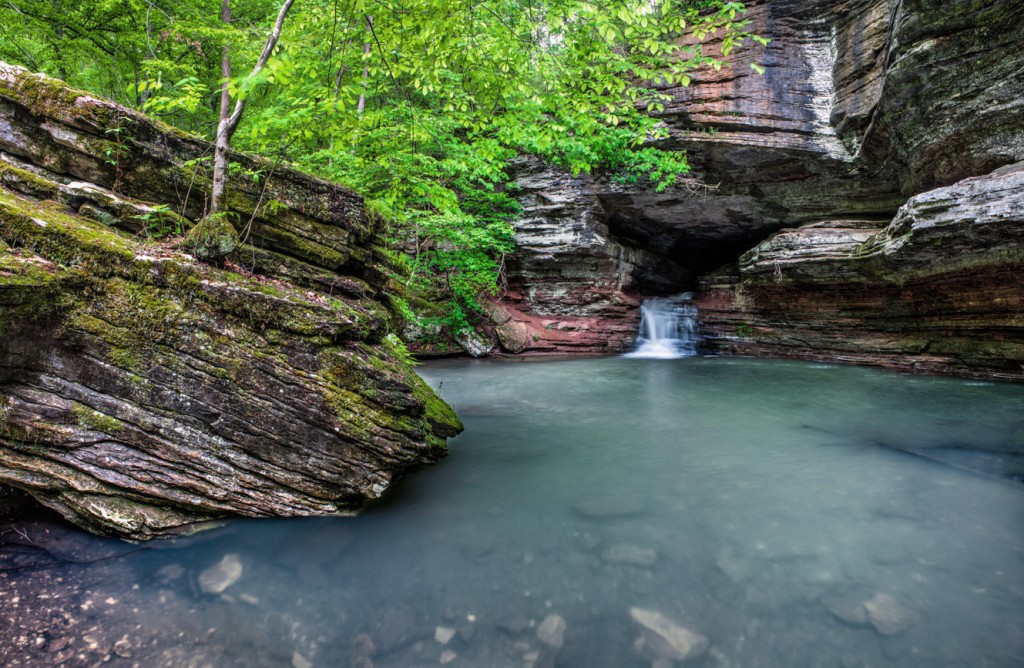
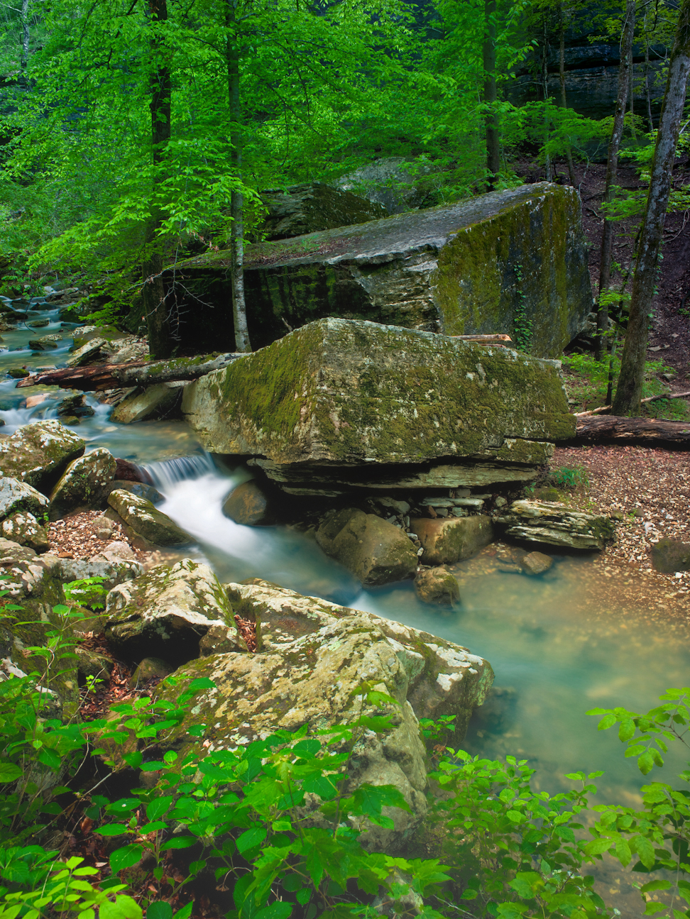
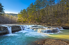
The Natural Bridge in Lost Valley near Ponca Arkansas on the Buffalo River–click on photo for a larger view
Taken with a Phase One P45+ in 3 vertical segments to be stitched into one frame, 35mm Mamiya lens, F14, iso50, 3 second exposures with ND filter and CL-PL. Lost Valley is one of my favorite spots in Arkansas to photograph, especially when there is water running in Clark Creek. I would say that in the 100 or so trips I have made to Lost Valley over the years, I have only seen water like that shown in this picture about 10 times. Clark Creek runs throughout Lost Valley and eventually empties into the Buffalo River above Ponca. This one valley has more scenic value packed into the 1.5 miles of trail than most other places in the Ozarks. You can find over 6 separate waterfalls when the creek is running at full flow. If you have not been there before with a good head of water running in Clark Creek, I would put this on your list of places to visit. You can be sure of good water in Clark Creek if the Buffalo River is running over 2000 cfs when gauged on the USGS gauge at Boxley. Lost Valley can also especially pretty in the dead of winter if you happen to catch it after a heavy snow.
07/16/12 Featured Arkansas Photography–Jigsaw Blocks in Lost Valley on Clark Creek, Buffalo National River
- At July 16, 2012
- By paul
- In Featured Arkansas Photography
 0
0
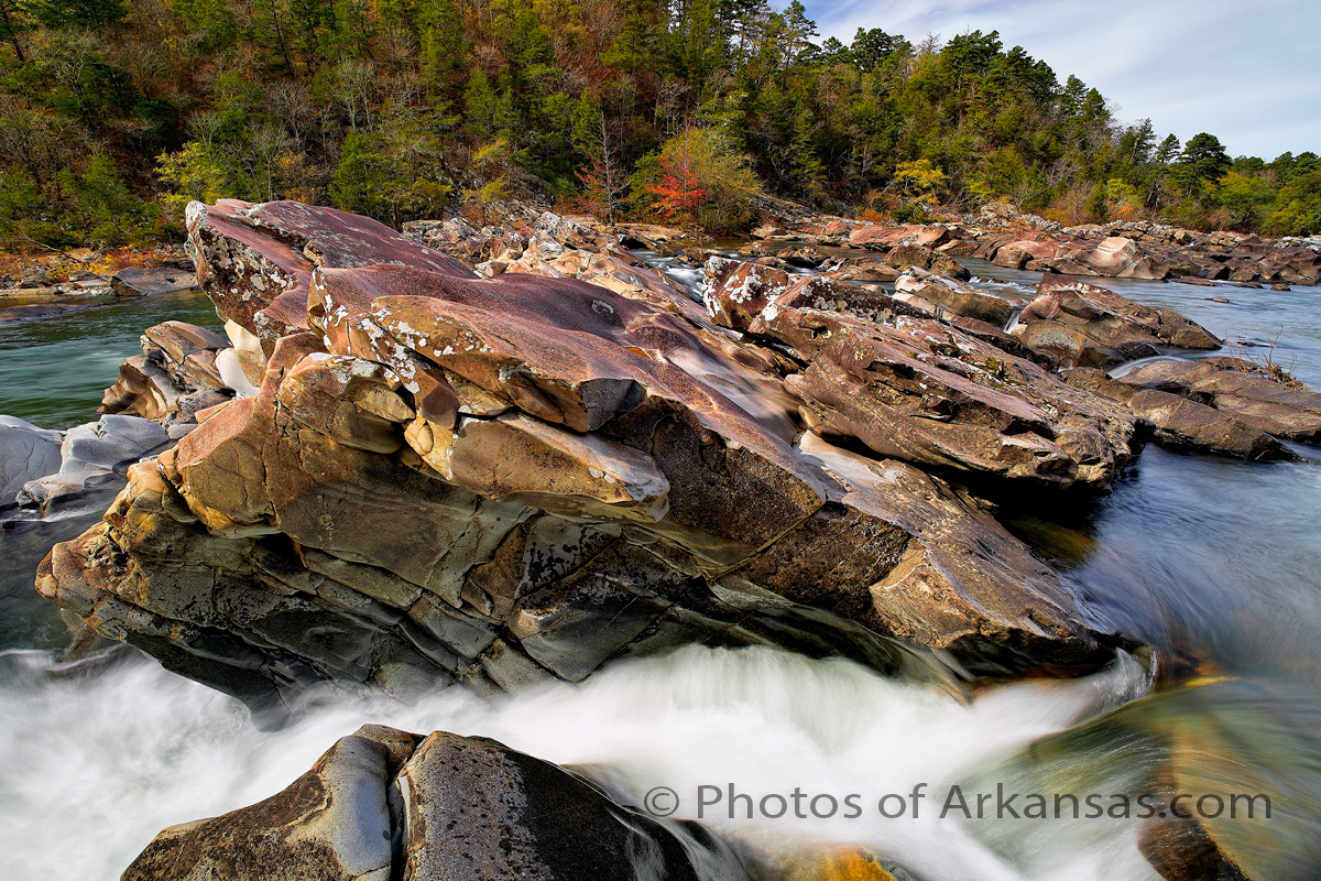
Taken with a Phase One P45+, Mamiya 35mm lens @ F14, iso 50, Exposure 2 seconds. The Lost Vally part of the Buffalo National River has to be one of the most scenic areas in the entire state. I have been hiking, camping, and photographing Lost Valley since around 1970. I can remember Lost Valley when it was still only a small state park and the logging had just been stopped with a injunction. This photograph was taken during the huge rain even in 2010 during late April and May. For over 3 weeks Clark Creek ran close to full capacity and some features that almost never have any water in them were available for photographic capture.
Now Lost Valley probably gets close to 250 visitors a day during the week and 3x of that at times on the weekends. Now there is no campground as the National Park service is totally unwilling to replace the wonderful campground that used to be on the far side of the creek. There was a heavy rain in 2011 that caused a flood and the rest is history. At least they reopened the area to hiking.
Read More»

