02/16/25 Featured Arkansas Photography–Sunset from Peter Cave Bluff
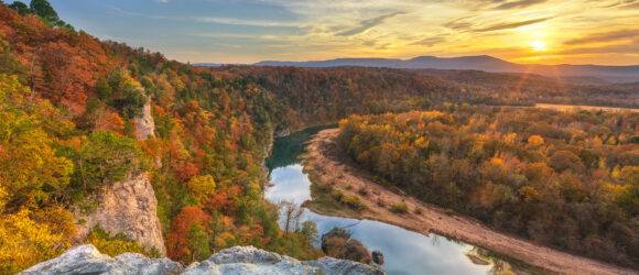
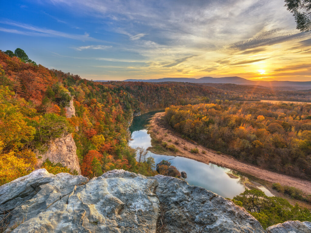
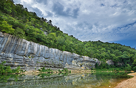
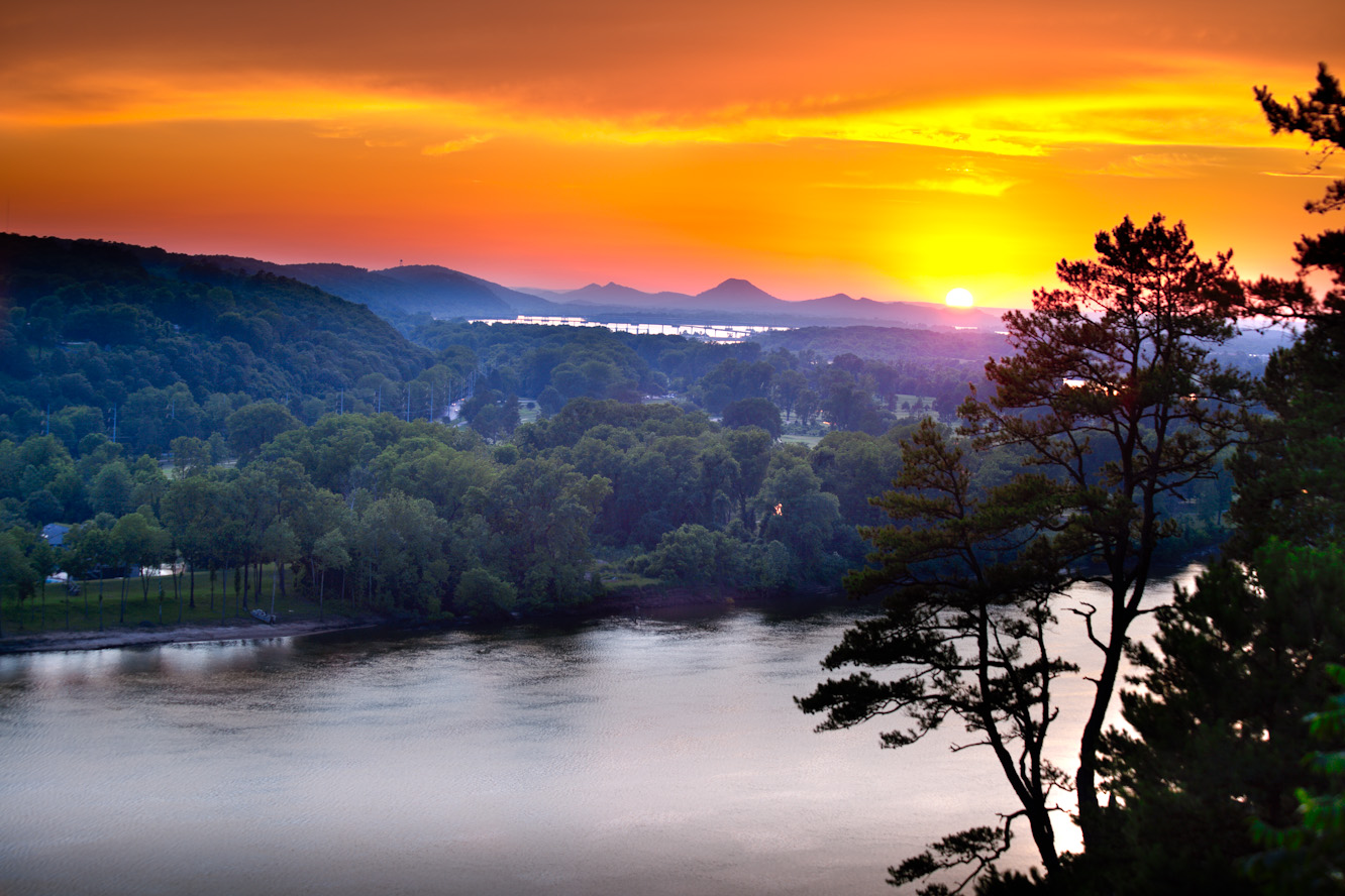
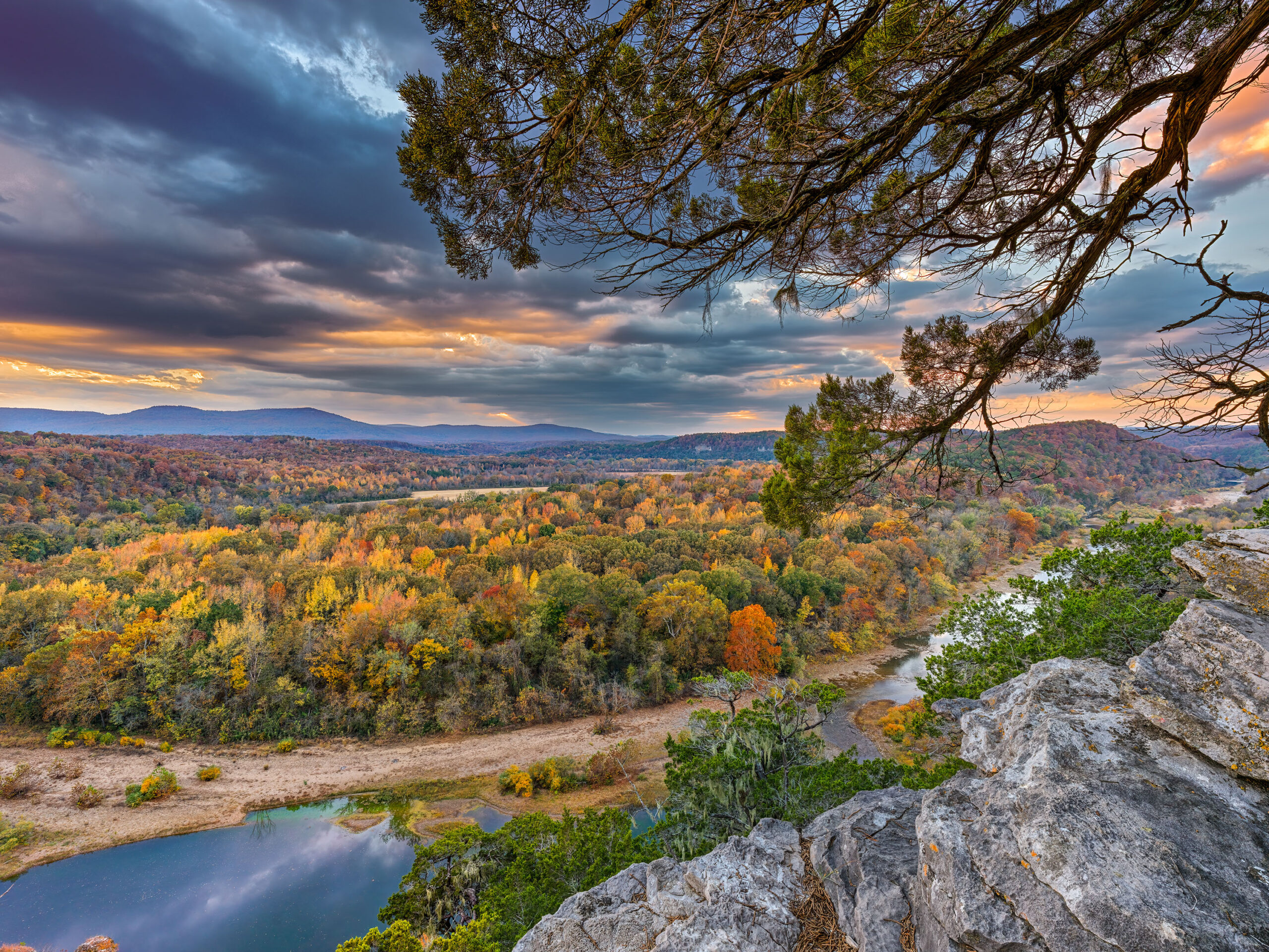
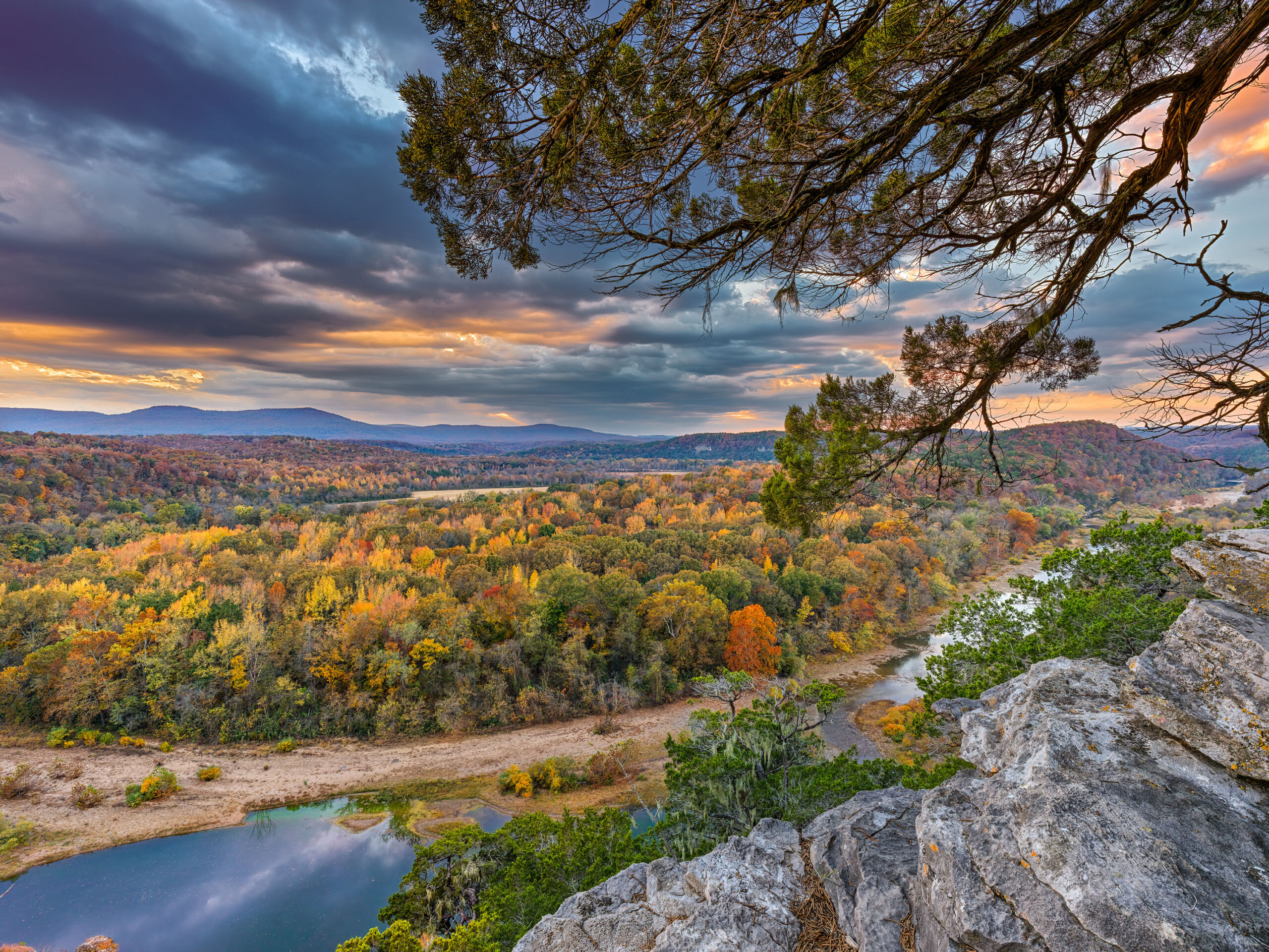
One of my favorite spots to photograph Arkansas is from the Buffalo River. Recently I have started working around the middle river instead of the more popular upper river. The vantage points are just as nice and there are less people. Peter Cave Bluff is a staggered bluff, and has a wonderful view of the Buffalo. Looking upstream, you can see almost all the way to Woolum ford. Looking downstream, you have views of Blue and Red Bluff no1.
This shot was taken as as 5 shot exposure bracket and a Hasselblad X2D with a 21mm lens. Even with 5 shots, I still had trouble with the sun being blown out. I have found that the X2D is very sensitive to direct highlights, more so than the Fuji GFX100. Both cameras are using the same 100MP sensor. I worked two images out of the five. One with the sky and sun and the other had the river and landscape. There was an extreme amount of dynamic range required to capture the entire image. I used F13 on the 21mm lens hoping to get as much of the rocks in the foreground in focus. There was so much wind blowing that afternoon, I decided not to attempt a focus bracket.
I found that once I worked up the final image, I used the latest Topaz sharpening software to attempt to bring the foreground rocks into better focus. The result was not perfect, but still better than where I started. The fall colors were given even more luster by the setting sun. In the image you can see a couple of lines from the sun star I was able to capture. The muted sun in the clouds did not give a normal star and the Hasselblad lenses only allow for a a 8 point star due to their internal aperture.
Written for Photos of Arkansas by Paul Caldwell
02/06/25 Featured Arkansas Photography–Fall Scene from Peter Cave Bluff
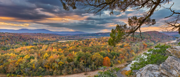
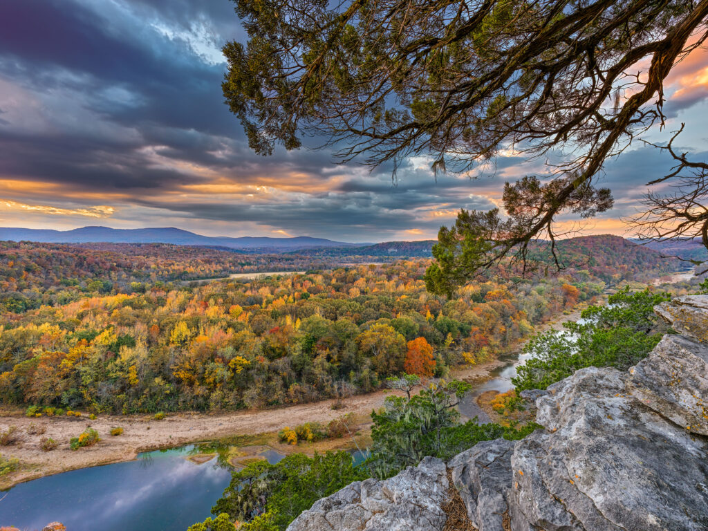
Fall color in Arkansas has been on the decline over the last 5 years. There have been many reasons listed, but whatever the cause, the colors in the state just are not as beautiful as they used to be 10 years ago. Peter Cave Bluff, is on the Buffalo National River, near the middle of the river. I love to photograph there since you have a grand vista of the countryside and can still feature the Buffalo River. There is a large single cedar tree that grows out of the bluff and I always try to make it a part of the photograph.
This image was taken with a Hasselblad X2D, and 21mm XCD lens. Even with the extra wide lens, I still needed to setup for a focus bracketing as I wanted to capture the rock of the bluff which was about 2 feet away from me. No medium format lens/camera combination I know can do this in a single frame even with apertures in the F16 range. Here also a tech camera would be a waste as if you added tilt to the shot to pull in the rocks in the foreground, you would quickly lose the top of the image to bluff since you have tilted the plane of focus. For many years I worked with a tech camera mainly for tilt and shift, but now with modern software and focus bracketing, I just don’t see the need for the tech camera system.
This particular shot was taken with 16 shots, two sets of 8 exposures at F 6.3. I had no wind that evening so I knew that movement would not interfere with the process. I had to take one set of shots at a higher exposure to hold the sky from blowing out in the areas where the sun was shinning through. The other set of 8 I used a slower exposure to help pull up the foreground. All the images were converted from raw files in Phocus. Then ran two sets of 8 image through Helicon Focus to create the focus bracketed sets, and then combined the two sets into one image.
Paul Caldwell, written on 02/06/25
01_11_25 Valley View of Pinnacle Mountain after heavy snowfall
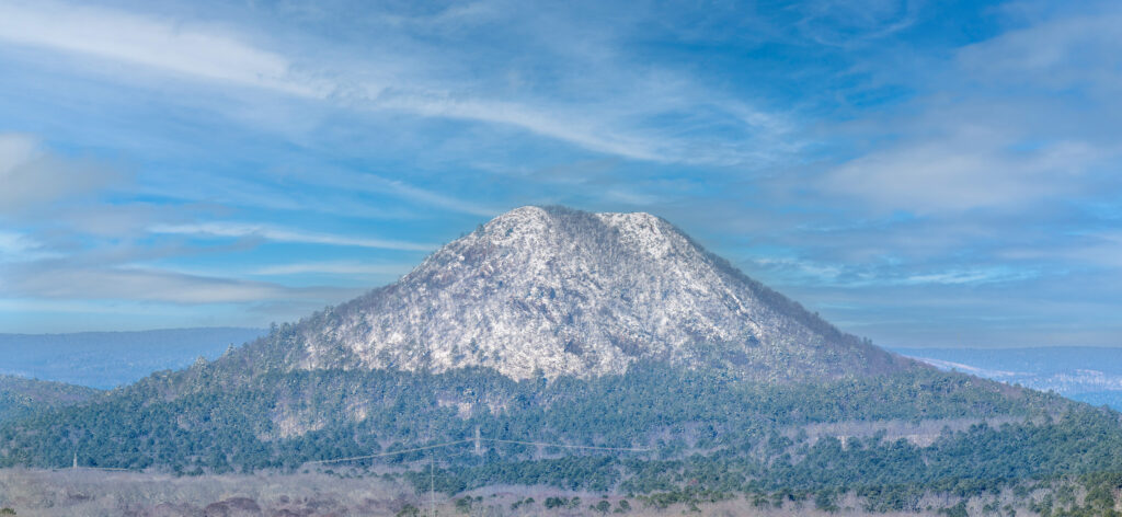
On the night of January 9th, 2025 Little Rock Arkansas had one of the heaviest snowfalls on recent record. At my house I recorded at least 14 inches. One of local favorite shots is the view of Pinnacle Mountain which can be seen very clearly at the end of my street. The day after the snow the sky was still grey and not clear and attempting to get a good shot of the mountain would have been a waste. However this morning the skies cleared and I was able to hike down to get a much better view. I had hoped to still catch all the snow in the pine trees near the base, however most of that was gone. However the mountain was still covered with snow which is rare event so I was rewarded with this view.
I shot this image in 2 frames with a Fuji GFX100II and the 500mm GF lens. All of the shooting on this morning was handheld with IBIS and OIS enabled and the results were spectacular. The details that this combination of lens and camera can capture are most impressive. I should add later some detailed crops but I am not sure that the effect can really be seen. This view is about 3 miles or more away from where I was standing and the individual tree limbs on the mountain and around the base are clearly visible. I shot with 3 frame exposure brackets and worked up only 2 frames from the total of 6. I was using Iso 80 with shutter speeds ranging from 1/650 to 1/250.
01/07/25 View of Silverton Colorado Narrow gauge
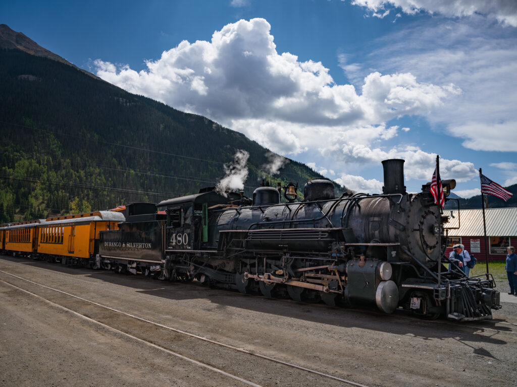
One of my favorite subjects is trains of all types, especially Steam engines. One of the most famous still running steam engines, is the Durango to Silverton Steam train. This railroad runs along the Animas river the entire way and allows for some amazing images. The only drawback is that you can expect to get covered in dirt and coal dust from all the smoke that comes back from the engine.
I was in Silverton back in September and had planned on traveling from Silverton to Engineer Pass, via Animas Forks. My last trip there was way back in 2006 and I expected the roads to be of the same quality. No, they were not and once you get to Eureka, where the old mill was, the road becomes a rutted mess, so bad that I figured it would take at least 3 more hours just to get to Animas Forks. So we turned back to Silverton and were able to go down to the station to wait on the steam train to arrive.
This was a static shot, after the train was no longer moving but the crowds were everywhere, so I planned on not trying to use a tripod for focus stacking. I am still going to remove the few folks in the image eventually. The best shot was going to be on the other side of the train where the sun was shinning but the crowds on that side prohibited any photography. So I worked on the shady side.
The image was taken with a Hasselblad X2D and 35-75 lens at approx 50mm. I used base ISO of 64 and was able to pull up the dark shadows around the engine. Depth of Field was fine at this distance so I have all of the engine in full focus.
02_07_22 Fall Sunrise over Western Pulaski County featuring Pinnacle Valley
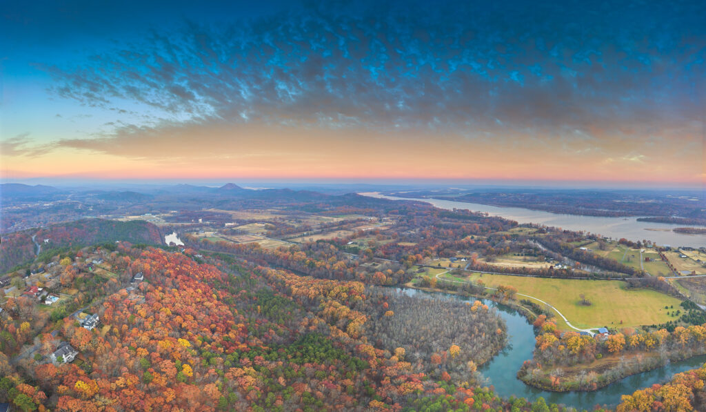
A composite image taken in 3 parts with a DJI Mavic 2 Pro Drone. The fall colors were just about peaked on the ridge in the foreground, and had already pushed past peak in the valley. I wanted to included the Maumelle River in this shot as I loved the look of it’s graceful curve at the bottom of the image. The Arkansas river flows in the background. The sky that morning was special with a wonderful peak/pink color and the rising sun popped the colors of the trees on the ridge. I found very few spots in the state in 2021 that had as much fall color as the Walton Heights Ridge.
Paul Caldwell
06/13/20 Sunset over Western Little Rock and the Big Dam Bridge
- At June 14, 2020
- By paul
- In Featured Arkansas Photography
 0
0
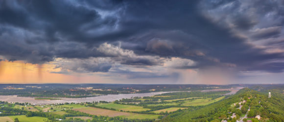
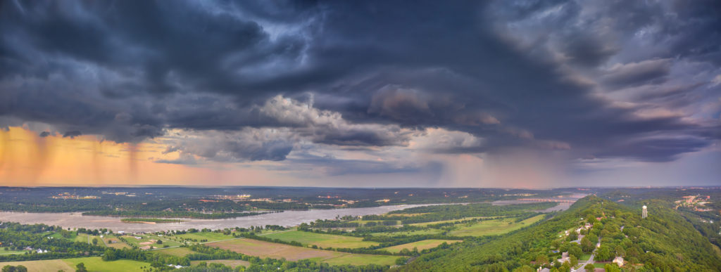
Taken with a DJI Mavic 2 Pro. For this shot I was forced to use multiple AEB bursts of 5 shots each, knowing that I would be throwing most of them out. However it’s the only way to get a a full reach of dynamic range from this drone as DJI really did a poor job on the raw capture process. But that’s another story in itself.
This was one of those wonderful thunderstorms that just rolled in quickly after the sun had dropped below the horizon. I started taking the shots right at around 8:00 pm and was able to shoot well towards 8:2o. This shot was one a rare shot as I was able to catch the full thunderstorm to the right of the shot and then the clear evening sky to the left. I used Capture One software to convert the raw files. I took 10 shots for the bottom portion to finally get a single file that was not too noisy. The sky was much easier to capture with just the normal 5 exposures. Once I had the images completed in Capture One, I opened them as tifs in Photoshop and layered the sky over the bottom of the image, doing this for the right and left half of the shot. Then I used Photoshop’s panoramic software to combine the final two images. Photoshop will do OK most of the time as long as you don’t have a pure blue sky or any other type of solid sky. The longest exposure was 1.6 seconds, which I feel is about the longest you can go with a drone in most conditions.
Paul Caldwell
06/13/20 A sunset with a stormy sky over Pinnacle Mountain
- At June 14, 2020
- By paul
- In Featured Arkansas Photography
 0
0
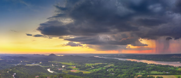
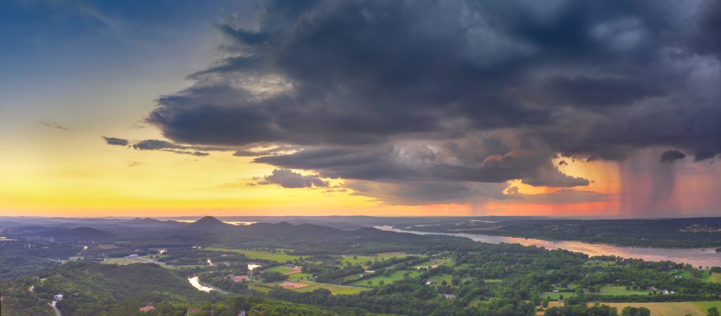
Taken with a DJI Mavic 2 Pro. For this shot I was forced to use multiple AEB bursts of 5 shots each, knowing that I would be throwing most of them out. However it’s the only way to get a a full reach of dynamic range from this drone as DJI really did a poor job on the raw capture process. But that’s another story in itself.
This was one of those wonderful thunderstorms that just rolled in quickly after the sun had dropped below the horizon. I started taking the shots right at around 8:00 pm and was able to shoot well towards 8:2o. This shot was one a rare shot as I was able to catch the full thunderstorm to the right of the shot and then the clear evening sky to the left. I used Capture One software to convert the raw files. I took 10 shots for the bottom portion to finally get a single file that was not too noisy. The sky was much easier to capture with just the normal 5 exposures. Once I had the images completed in Capture One, I opened them as tifs in Photoshop and layered the sky over the bottom of the image, doing this for the right and left half of the shot. Then I used Photoshop’s panoramic software to combine the final two images. Photoshop will do OK most of the time as long as you don’t have a pure blue sky or any other type of solid sky. The longest exposure was 1.6 seconds, which I feel is about the longest you can go with a drone in most conditions.
Paul Caldwell
03/21/19 Broadway Bridge over the Arkansas River in Little Rock–Featured Arkansas Photography
- At March 20, 2019
- By paul
- In Featured Arkansas Photography
 0
0
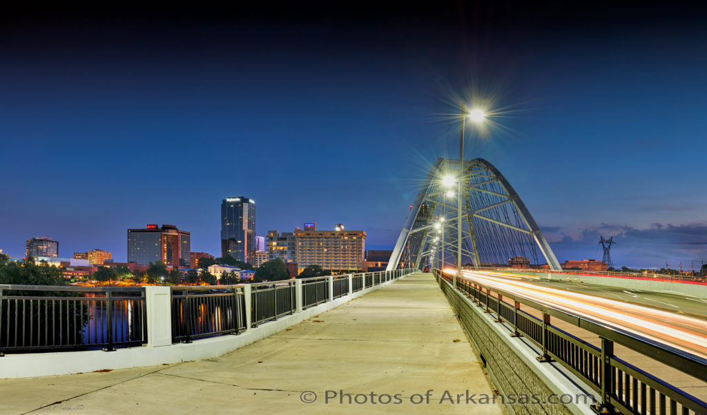
Taken with a Nikon D850 and 24-70 lens, 4 vertical photos, stitched into 1 landscape panorama.
The new Broadway Bridge in downtown Little Rock/North Little Rock has been a eye catching subject since its’ completion. I wanted to catch the bridge in the magic 30 minutes of light after sundown, when the sky is still showing a slight blue tint. The motion of the cars moving over the bridge turned into a painting of light due the very slow shutter speed I selected of 3 to 5 seconds. This photograph is a combination of 6 different images as I also had to bracket my shutter speed to capture the full dynamic range of the scene.
I used a tripod to keep my scene as level as possible and did not worry about a nodal point. To be honest, way too much is made of finding a nodal point with modern stitching software. You just don’t have to worry about it as much. I had no trouble getting the railing in the immediate foreground to line up at all. I used Phase One’s Capture One software to develop the images and then stitched them together in Lightroom. I also had to work a bit to get the building straightened out since my camera was pointed up slightly. I went ahead and picked a aperture of around F10 to help with the star burst from the street lights.
Written for www.photosofarkansas.com please do not reproduce this image or any of the written material without permission.
03/14/19 Sunset skies over Pinnacle Mountain–Featured Arkansas Photography
- At March 14, 2019
- By paul
- In Featured Arkansas Photography
 0
0
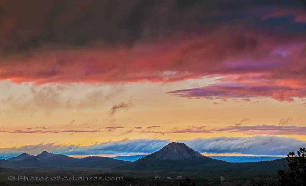
Taken with a Nikon D850 and 80-400 lens, ISO 200. 4 vertical shots combined into 1 final image.
Love the area around Pinnacle mountain in western Pulaski county. All day long the skies had been grey and dark, no color. But right at sundown, the clouds broke open and the sun started to shine. It was still raining a bit, but I headed out to try and capture at least 1 sunset shot. I was working with the D850 and 80-400 lens, (a lens I have mixed feelings about) and no tripod, so I pushed up the ISO to 200 and shot brackets. I really should have pushed up to around 400 or even 800, but I was still able to get my shot. There is a bit of noise in the foreground, but it’s not as bad as I thought it would be. The skies were just loaded with color and I loved the way the various layers of clouds were moving across the skies.
I used Capture One to convert the images from raw files and then used Photoshop CC 2018 to create the panorama. It’s not really a true panorama, but more large format image. To capture this, I took 4 vertical images all hand held then used the panorama tools in Photoshop to create the final image. Photoshop does a great job most of the time and was able to get this image converted fine.
Pinnacle is an amazing looking mountain in western Pulaski County, Arkansas.
Written for www.photosofarkansas.com by Paul Caldwell, please do not reprint or reproduce any of this content without permission.
03/12/19 Blood Moon Eclipse over Little Rock–Featured Arkansas Photography
- At March 12, 2019
- By paul
- In Featured Arkansas Photography
 0
0
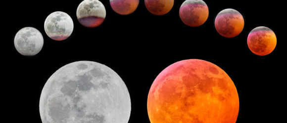
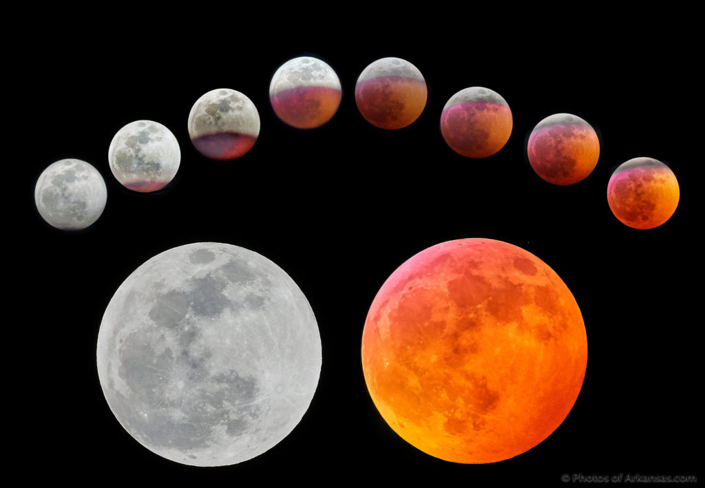
Blood Moon Eclipse, over Little Rock Arkansas. Taken with a Nikon D810A and Nikon 200-400 lens over a 1 and 1/2 hour time frame.
On the evening of January 20th, 2019, there was an excellent situation for astro photographers. There would be a “super” moon combined with a “blood” moon. The super moon denotes the larger size and greater brightness of the moon, and the blood moon refers to the blood red/in this case orange color of the moon. Full lunar eclipses happen often, but the combination of a blood and super moon during a full lunar eclipse is rare.
I have tried multiple times to capture a blood moon, but have been thwarted due to weather, or poor photographic technique. On this night, the sky remained clear throughout the entire eclipse and offered excellent viewing opportunities.
For the capture, I used my Nikon D810A, which has a slightly better high ISO dynamic range over my D850. I did sacrifice a considerable amount of resolution in doing this, but I preferred to have a great chance of capturing the overall full eclipse. The results were impressive. I used the Nikon 200-400 F4 lens at 400mm the entire time of the shoot. I varied my ISO range from 800 to 5000, and found the best results were when I took slightly longer exposures in the ISO 1200 to 2500 range.
Written for www.photosofarkansas.com on 03/11/19, please do not reproduce any of this content without express permission from Paul Caldwell

