12/05/15 Featured Arkansas Landscape Photography–Breakout
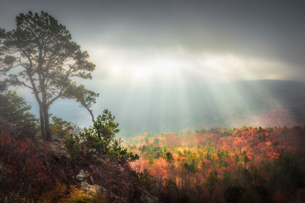
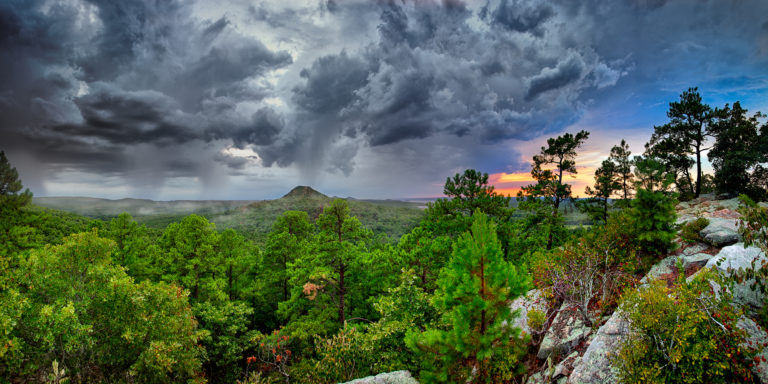
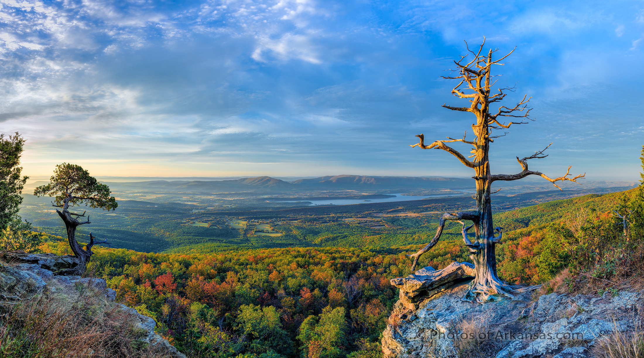
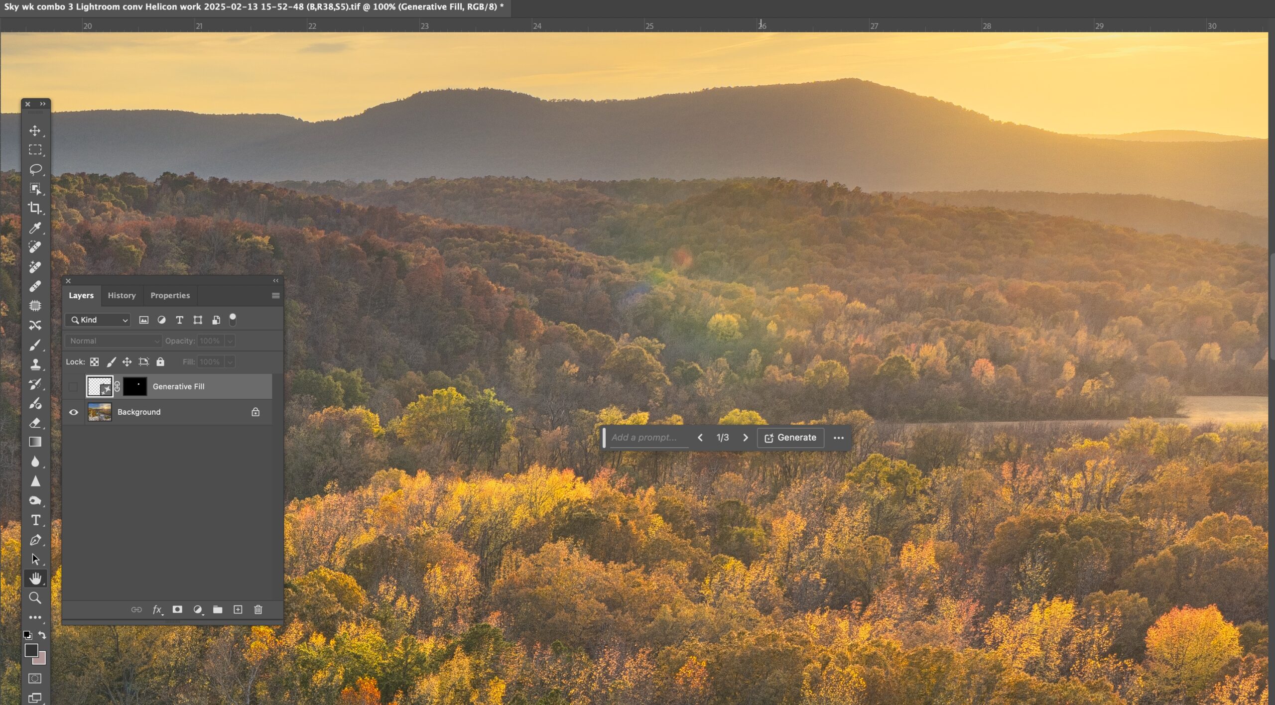
Taken with a Canon 5D MKII, and 24-70MKI lens, iso 400 Single exposure
Flatside Pinnacle, really is the gateway to the Ouachita mountains and the view to the west from the summit is well worth the drive out from Little Rock. Don’t confuse this with Pinnacle Mountain, which is much closer to Little Rock. Flatside pinnacle is around 1,500 feet tall, which puts it higher than Petit Jean, and Mt. Nebo. On a clear day you can can see Forked Mountain way off in the distance and also Mt. Magazine, the highest spot in Arkansas. Looking behind you can make out the eastern end of Petit Jean mountain and the Mt. Nebo and Spring Mountain. Flatside was recently heavily defaced with paint which just goes to show there are SOME REALLY FRIGGIN STUPID PEOPLE out there. Not sure why they bother to come out. I have worked on the graffiti now about 3 times over the past year and it’s finally starting to wear off, but it’s a damn shame that some folks just don’t get it and want to ruin it for everyone.
This was a morning that really did not turn out to be a very good day, but there was a brief period where the sun managed to break through the heavy clouds and really the effect was wonderful. Fall was in full bloom and so the colors down in the valley from the summit of Flatside Pinnacle were excellent. I worked this image up in Lightroom and then used Topaz clarity to help bring out more of the rays of the sun in the fog. This light only lasted about 10 minutes and then the clouds settled back down over the entire valley. Just another example of just how much photography is luck and being able to be at the right spot at the right time.
Flatside is worth a hike anytime of the year. It offers some of the best sunsets in the Ouachitas. Sadly the wilderness boundary continues to become more and more defined by recent clear cuts, which leave huge swatches of solid green pine trees in their place. If you go after a big storm or in winter you might want to bring a chainsaw or handsaw as it’s quite possible to find a recent fallen tree blocking the road.
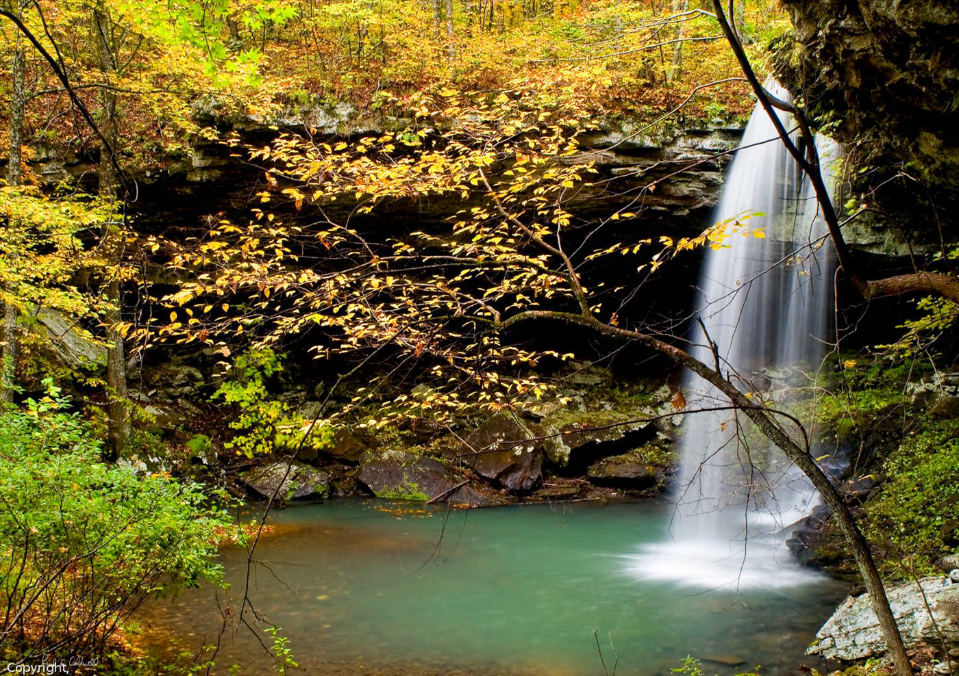
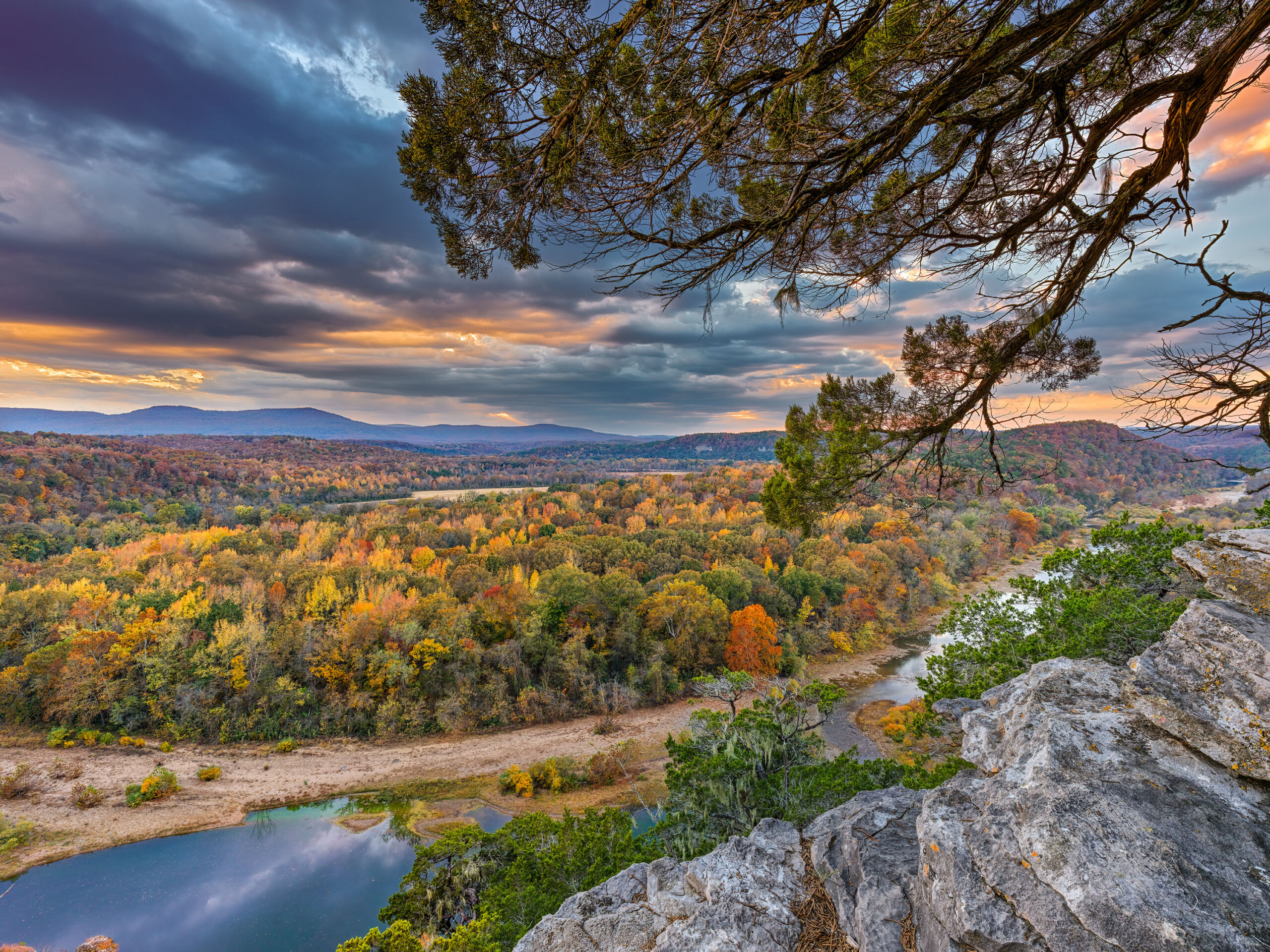
08/13/12 Featured Arkansas Photography–Fall Scene on the Cossatot River
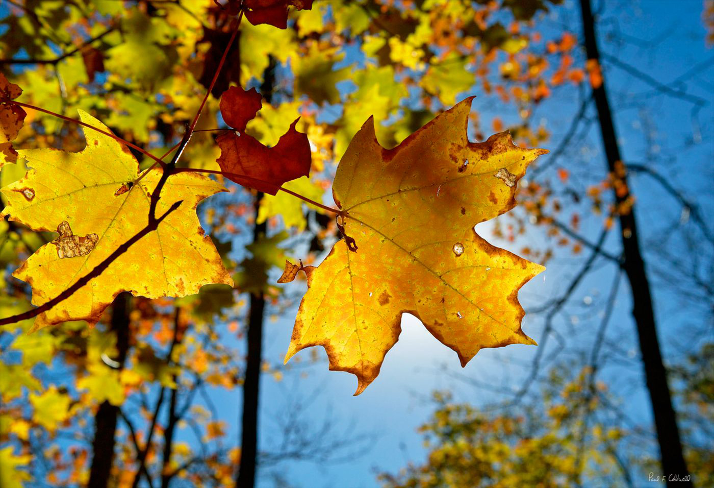
Taken with a Canon 1ds MKII, Canon 24-70 lens @ 70mm and F 14, iso 100, Shutter speed 1/160 of a sec. With the fall season just about here, actually in many places it’s already here in Arkansas as a lot of the trees have turned brown due to the excessive drought. This shot was taken during one of my many hikes along the Cossatot River in the southwestern Ouachita mountains. The Cossatot is a great stream, just takes a while to get there from Little Rock. When the levels are right, the Cossatot is one of the best kayaking spots in Arkansas. The area known as Cossatot Falls is the real mecca. Here you can find 6 distinct rapids each of which has a unique name. Along the banks of the Cossatot you can find wonderful displays of maples, oaks, and gum trees. I found this shot on my hike back out as the sun was starting to set and I was able to position the sun so that it back lit the leaf just the way I wanted. I used a polarizer to help block out unnecessary reflections and to give the sky a deeper blue hue. Fall is definitely one my favorite times to photograph Arkansas.
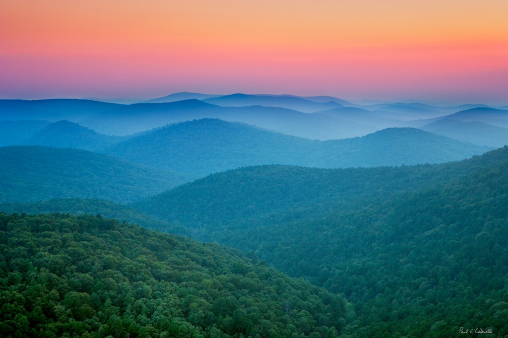
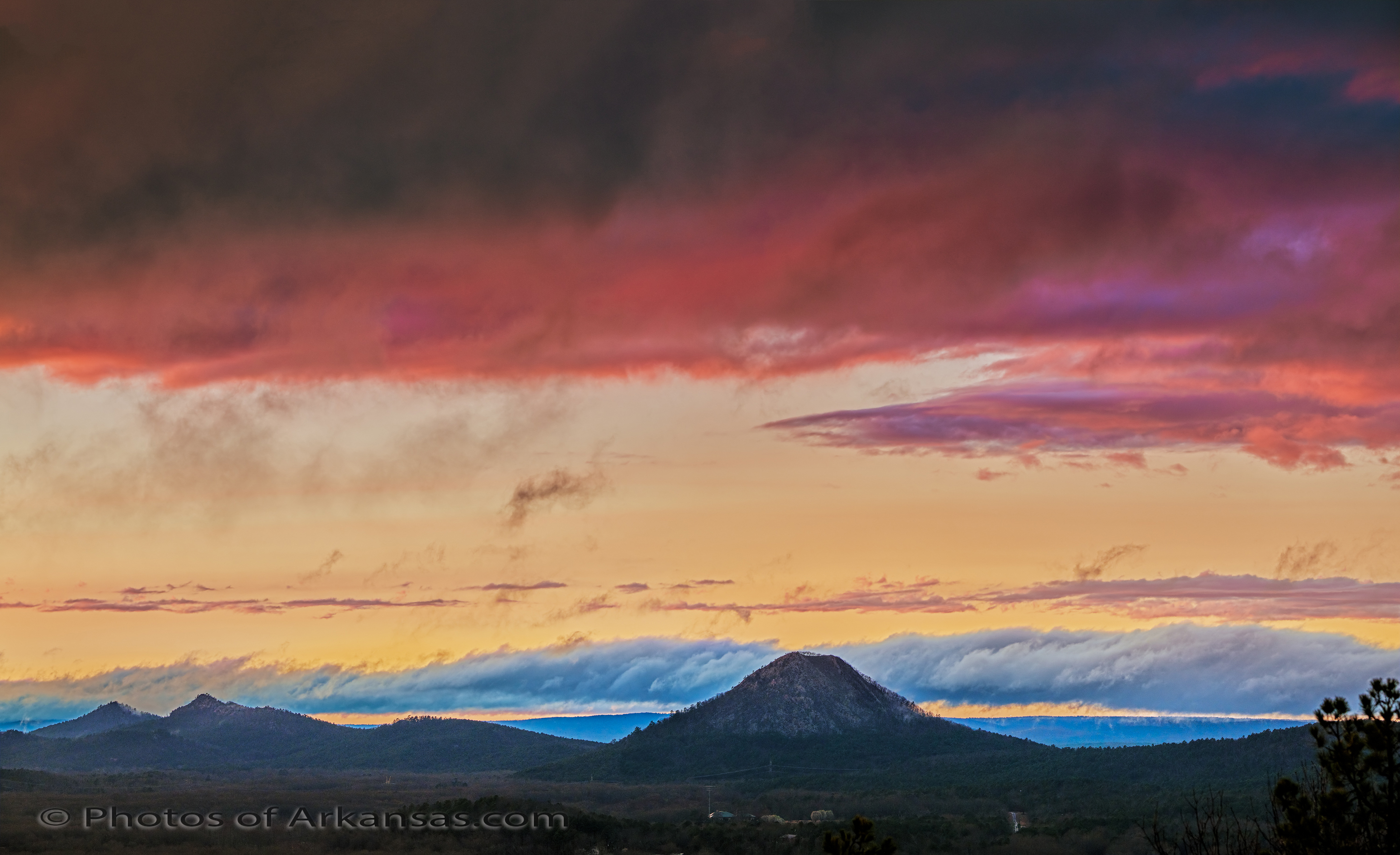
08/03/12 Featured Arkansas Photography–Sunset from Flatside Pinnacle
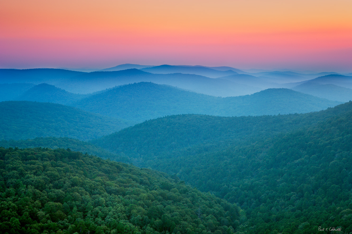
Taken with a Canon 1ds MKII, iso 100, HDR series 5 frames, Canon 24-70 lens @ F11. Flatside Pinnacle is one of those places that once you make a trip there, you will find yourself going back many times. You can catch a great sunset looking out over the Ouachita mountains, or if you are there early in the morning, the fog will be down in the hills. Flatside is an easy 40 minute drive from Little Rock, west on Hwy 10 towards Lake Sylvia. I took this shot with a Canon 1ds, MKII, in a 5 frame HDR series. The sun had already set and the exposure times were from around 5″ to 20″. The effect I was after was the light playing off the haze in the distance. The colors of the sky that day were amazing. The hike to Flatside will take you near the 150 mile Quachita trail which runs east/west across most of the Arkansas Ouachita mountains and into Oklahoma.


